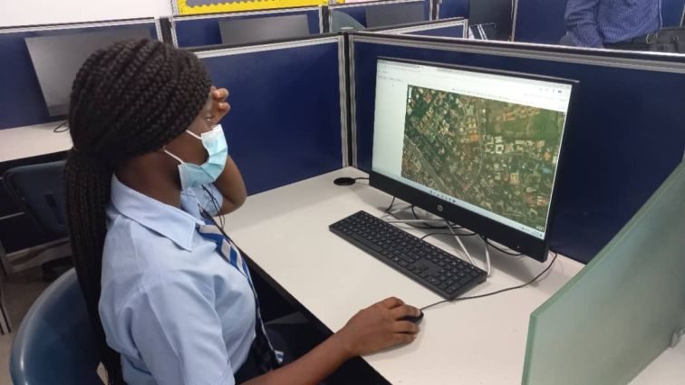
During the months of September & October, 16 Geography students from Form 4 to Upper 6 participated in the Spatial Thinking (SpaT) Programme organised in partnership with AccuGeospatial Limited. The programme aims to equip students with spatial thinking skills such as visualizing, interpreting and reasoning using location, distance, direction and change in space.
Over the course of 4 meetings, each spanning 2 hours, students enjoyed a series of informative presentations covering Geographic Information Systems (GIS) concepts with real-world examples such as layers, data types, map scales, spatial reference lines, feature attribute information and spatial analysis. In addition, students received a demonstration of Esri’s ArcGIS Online (AGOL) platform, a hands-on software which enabled students to explore various web applications. Students were able to create their own maps and after practical lab sessions, they were put into groups and embarked on field data collection.
Employing Esri’s Collector for ArcGIS mobile data collector, students took turns to map features within the school, such as flowerpots, trees, the standby generator, walkways, our Basketball and Volleyball courts, using their iPads and mobile phones. They were also able to locate their homes and several other buildings and structures using the ArcGIS Online platform.
Our students much enjoyed their SpaT training sessions, and they look forward to exploring more features of the ArcGIS online platform in the coming weeks.
